Tokyo Hiking Course Guide
東京日帰り登山・コースマップ|大山
Average Time: 5 hours
Distance: 7 km
Elevation: 1252 m
Level: Intermediate
About the Course – Mt. Oyama
The mountain is located in Kanagawa prefecture. It’s a very popular mountain for a day hike.
Mount Oyama has been regarded as a holy mountain since middle ages. The rain god is believed to live on the mountain, so climbing the mountain has been popular especially among farmers since the Edo era.
The mountain is more than 1000 meters high and the course is long. It could be hard for beginners, but the course is well maintained and there are some sightseeing spots, restaurants and shops on the mountain. It’s relatively safe for beginners to climb the mountain.
Course Map
1. Isehara Station 伊勢原駅
2. Oyama Cable Bus Stop 大山ケーブルバス停
3. Koma Street こま参道
4. Yagokoro Omoikane Shrine 八意思兼神社
5. Entrance of Onnazaka Trail 女坂入口
6. Raigo-in Temple 来迎院本堂
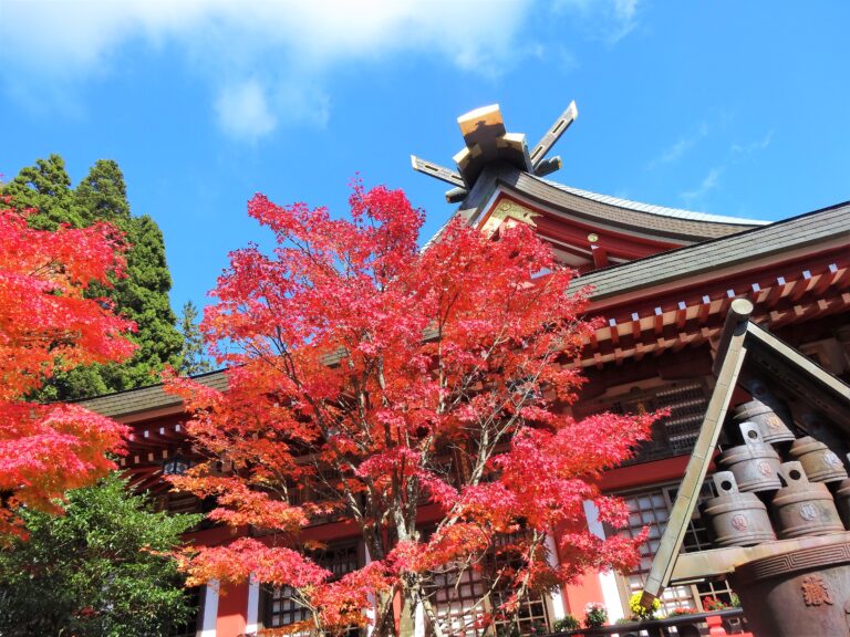
7. Oyama-dera Temple 大山寺
8. Mumyo Bridge 無明橋
9. Shop & Cafe Sakuraya さくらや
10. Oyama Afuri Shrine 大山阿夫利神社
11. Torii Gate 山頂本社鳥居
12. 16th Station 16丁目
13. Observation Area 富士見台
14. 25th Station 25丁目
15. The Summit of Mt. Oyama 大山山頂
16. Observation Area 見晴台
17. Niju Falls 二重滝
18. Daishin Inari Shrine 大新稲荷神社
19. Cable Car Afuri-Jinja Station 阿夫利神社駅
Course Map (Google Map)
【External Links】
・Tanzawa-Oyama Sightseeing Guide (English)
・Oyama Hiking Course Map (Japanese)
・Bus Timetable – Isehara Station North Exit
・Bus Timetable – Oyama Cable Bus Stop
・Cable Car Timetable
