Tokyo Hiking Course Guide
東京日帰り登山・コースマップ|嵐山・石老山
Average Time: 5 hours
Distance: 12 km
Elevation: 702 m
Level: Intermediate
About the Course – Mt. Arashi & Sekiro
There are 2 popular mountains among locals beside Lake Sagami; Mt. Arashi (Arashi-yama) and Mt. Sekiro (Sekiro-zan).
This course goes through the 2 mountains. Each mountain has its own feature. Mt. Arashi is popular for the view from the summit. You can see the whole lake below your eyes. Mt. Sekiro is famous for the huge rocks along its trail.
It’s a long course, but it’s popular among intermediate hikers for a day hike.
Course Map
1. Sagamiko Station 相模湖駅
2. Sagamiko Park 相模湖公園
3. Sagami Dam 相模ダム
4. Entrance of the Trail 嵐山山道入口
5. The Summit of Mt. Arashi 嵐山山頂
6. Sanreimiya-mizukami Shrine 産霊宮水上神社
7. Exit of the Trail 嵐山山道出口
8. Sekirozan-iriguchimae Bus Stop 石老山入り口前バス停
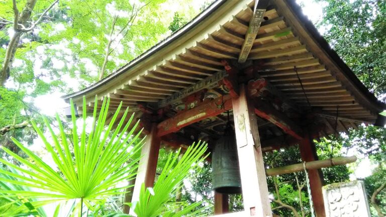
9. Kenkyo-ji Temple 顕鏡寺
10. Observation Area 融合平展望台
11. The Summit of Mt. Sekiro 石老山山頂
12. Observation Area 大明神展望台
13. Pleasure Forest Zen Bus Stop プレジャーフォレスト前バス停
Course Map (Google Map)
