Tokyo Hiking Course Guide
東京日帰り登山・コースマップ|逗子・鷹取山
Average Time: 3 hours
Distance: 5 km
Elevation: 139 m
Level: Upper Beginner
About the Course – Takatori Mountain
Mount Takatori is located in Zushi City in Kanagawa prefecture. It’s a very small rocky mountain, which used to be a quarry. The place is famous for a steep quay and a statue of Buddha carved on a wall. You can see Sagami bay below your eyes from the top of the mountain.
The mountain is only 139 meters high and its course suits for beginners, but there are some bad footing on the trail and a few places easy to get lost. You should be well-prepared.
Course Map
1. Higashi-Zushi Station 東逗子駅
2. Entrance of the Trail 鷹取山登山口
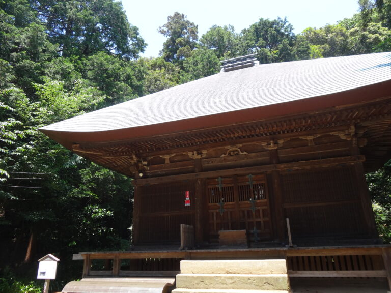
3. Jimmu-ji Temple Bell 神武寺の晩鐘
4. Jimmu-ji Gate 神武寺山門
5. Yakushi Hall 神武寺薬師堂
6. Entrance of the Trail 山道入り口
7. Observation Deck 展望台
8. Buddhist Images on a Rock Face 鷹取山仏像壁画群
9. Takatori Mountain Park 鷹取山公園
10. Carved Buddhist Image on a Rock Face 鷹取山の磨崖仏
11. Exit of the Trail 登山道出口
12. Kaiho-in Temple 海宝院
