Tokyo Hiking Course Guide
東京日帰り登山・コースマップ|御岳渓谷
Average Time: 3 hours
Distance: 6 km
Level: Beginner
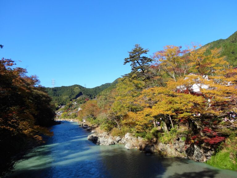
About the Course – Mitake Gorge (Valley)
Mitake Gorge (Valley) is located in Ome city, where is the west side of Tokyo. Tama river runs in the small valley and a walking trail goes along the side of the river. From the riverside you can see the fast flow of the river.
It’s an easy course. There are only a few ups and downs on the trail. On the course there are some museums and a sake brewery. If you have time, you should visit them.
Course Map
- Ikusabata Station 軍畑駅
- Entrance of the Trail 御岳渓谷入り口
- Kanzanji Temple 寒山寺
- Kushi Kanzashi (hair accessory) Museum 櫛かんざし美術館
- Sawanoi-en Garden 澤乃井園
- Mitake Bridge 御岳橋
- Mitake Gorge 御岳渓谷
- Gyokudo Museum 玉堂美術館
- Mitake Museum 御岳美術館
- Mitake Station 御嶽駅
Google Map
【External Links】
・Mitake Ravine Map (PDF・English)
・Mitake Visitor Center (Japanese)
・Information on Trail Condition (Japanese)
