Tokyo Hiking Course Guide
東京日帰り登山・コースマップ|多摩湖・狭山湖
Average Time: 3 hours
Distance: 7 km
Level: Beginner
About the Course – Lake Tama & Sayama
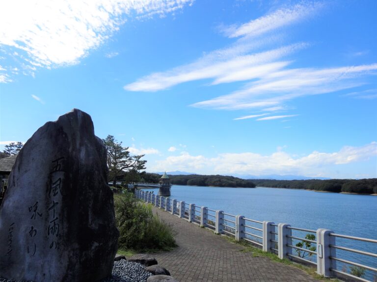
Lake Tama is located in the west side of Tokyo and Lake Sayama in Saitama prefecture. Even though the lakes are vary close to a city area, it’s surrounded by wooded spaces and forests, where you can feel nature. There are some good view points on the course, especially from a dam, you can look out on the lake.
The course is well-maintained and suits for beginners.
Course Map
1. Musashi-Yamato Station 武蔵大和駅
2. Entrance of Sayama Park 狭山公園入口
3. Takubu Pond 宅部池
4. Sayama Dam Park 狭山公園堤防上広場
5. Tamako Bridge 多摩湖橋
6. Keisho-mon Gate 慶性門
7. Kannon Hall 千手観世音菩薩
8. Konjo-in Temple 山口観音金乗院
9. Sayama Fudo-ji Temple 狭山不動寺
10. Choji-mon Gate 旧崇源院殿霊廟丁字門
11. Sayama Natural Park 狭山自然公園
12. Resting Place 狭山湖右岸休憩所
13. Enmado Hall 閻魔堂
14. Seibukyujo-mae Station 西武球場前駅
Google Map
