Tokyo Hiking Course Guide
東京日帰り登山・コースマップ|弘法山
Average Time: 3 hours
Distance: 7.5 km
Elevation: 235 m
Level: Beginner
About the Course – Mt. Kobo
Mount Kobo (Kobo-yama) is located in Tanzawa mountain area of Kanagawa prefecture.
This course goes through 4 mountains, but these mountains are small and low. The highest point is only 235 meters high.
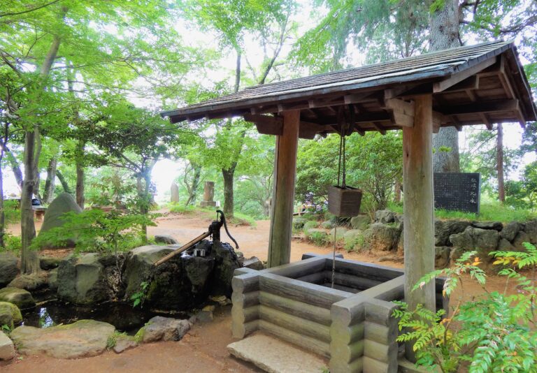
The place around the mountains are maintained as a park. There are a popular Sakura viewing spot, old temples and an observation tower in the park.
The goal is Tsurumaki-Onsen station. This area is famous for hot springs, so you can take a spa after the hike if you’d like.
The course is not difficult. It’s well-maintained and suits for beginners.
Course Map
- Hadano Station 秦野駅
- Hadano Clock Tower 秦野時計台
- Meitoku-ji Temple 命徳寺
- Entrance of Kobo-yama Park 弘法山公園入口
- Mt. Asama 浅間山
- Gongen-yama Observation Deck 権現山展望台
- Mt. Gongen 権現山
- Bell Tower 鐘楼
- Mt. Kobo 弘法山
- Taishi Hall 大師堂
- Mt. Agatsuma 吾妻山
- Kobo-no-Sato Hot Springs 弘法の里湯
- Tsurumaki-Onsen Station 鶴巻温泉駅
Course Map
