Tokyo Hiking Course Guide
東京日帰り登山・コースマップ|愛宕山
Average Time: 4 hours
Distance: 7 km
Elevation: 507 m
Level: Upper Beginner
About the Course – Mount Atago
The course starts from Okutama station and goes along Hikawa valley to the small mountain called Atago-san (Mount Atago). There is a very steep stairs on this mountain. You might be surprised how steep it is when you see it from the bottom of it!
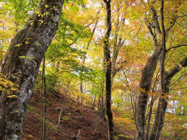
The course has a variety including a river side trail, a forest trail and a mountain trail. The mountain is not high and the course is well-maintained. It suits for a day hike.
Course Map
1. Oku-Tama Station 奥多摩駅
2. Kita-Hikawa Bridge 北氷川橋
3. Entrance of Hikawa Riverside Trail 氷川渓谷遊歩道入り口
4. Toke Bridge 登計橋
5. Entrance of the Trail 登山道入口
6. Stairs of Atago Shrine 愛宕神社階段
7. Bell of Peace 平和の鐘
8. Atago Shrine 愛宕神社
9. Toke Pass 登計峠
10. Entrance of Toke Trail 登計トレイル入口
11. Visitor Station 2 ステーション2
12. Toke Observation Area 登計トレイル眺望広場
13. Exit of Toke Trail 登計トレイル出口
14. Hikawa Small Bridge 氷川小橋
15. Hikawa Gorge 氷川渓谷
16. Okuhikawa Shrine 奥氷川神社
17. Haguro Slope 羽黒坂
18. Haguro Mita Shrine 羽黒三田神社
Course Map (Google Map)
【External Links】
・Hikiwa Valley Hiking Course Map (PDF・Japanese)
・Okutama Visitor Center (Japanese)
