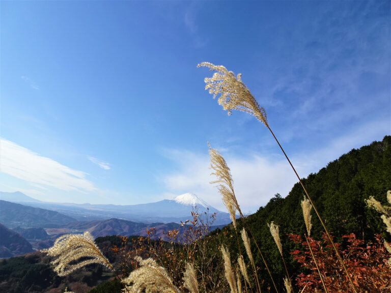
Tokyo Hiking Course Guide
東京日帰り登山・コースマップ|大野山
Average Time: 4 hours
Distance: 11 km
Elevation: 723 m
Level: Upper Beginner
Course Map
1. Yaga Station 谷峨駅
2. Entrance of the Trail 登山道入り口
3. Old Sakura Tree 頼朝桜
4. Resting Place 東屋
5. Summit of Mt. Ono 大野山山頂
6. Entrance of the Trail 登山道入り口
7. Community Center 共和のもり(NPO法人)
8. Line of Sakura Trees 桜並木
9. Yamakita Sakura Cafe やまきたさくらカフェ
10. Yamakita Railway Park 山北鉄道公園
11. Sakura Hot Spring さくらの湯
12. Yamakita Station 山北駅
Google Map


