Tokyo Hiking Course Guide
東京日帰り登山・コースマップ|陣馬山・陣馬の湯
Average Time: 5 hours
Distance: 15 km
Elevation: 855 m
Level: Intermediate or Upper Beginner
About the Course – Mt. Jimba & Hot Springs
Mount Jimba (Jimba-san) is located in Sagamihara city, Kanagawa prefecture.
The course starts from Sagamiko station and goes up to Myoo pass. After Myoo pass, you walk along a mountain ridge to the top of Mt. Jimba.
The summit of Mt. Jimba is a famous spot for the panoramic mountain view.
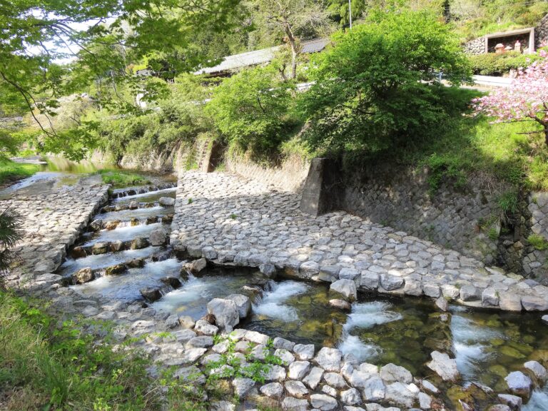
There some hot springs at the end of the trail. You can enjoy a spa after the hike!
Course Map
1. Sagamiko Station 相模湖駅
2. Stone Memorial 明治天皇碑
3. Jigan-ji Temple 慈眼寺
4. Yose Shrine 与瀬神社
5. Mount Mago-yama 孫山
6. Myoo Pass 明王峠
7. Narako Pass 奈良子峠
8. The Summit of Mt. Jimba 陣馬山山頂
9. Entrance of Tochiya-one Trail 栃谷尾根入口
10. Exit of the Trail 栃谷尾根出口
11. Resting Place 栃谷園地休憩所
12. Jinya Hot Springs 陣谷温泉
13. Jinkeien Hot Springs 陣渓園
14. Himetani Hot Springs 旅館姫谷
15. Sawai Post Office 沢井簡易郵便局
16. Jimba Tozanguchi Bus Stop 陣馬登山口バス停
17. Sawai River Park 澤井川公園
18. Fujino Station 藤野駅
Course Map (Google Map)
