Tokyo Hiking Course Guide
東京日帰り登山・コースマップ|相模湖・小原宿本陣
Average Time: 4 hours
Distance: 8 km
Elevation: 406 m
Level: Upper Beginner
About the Course – Obarajuku
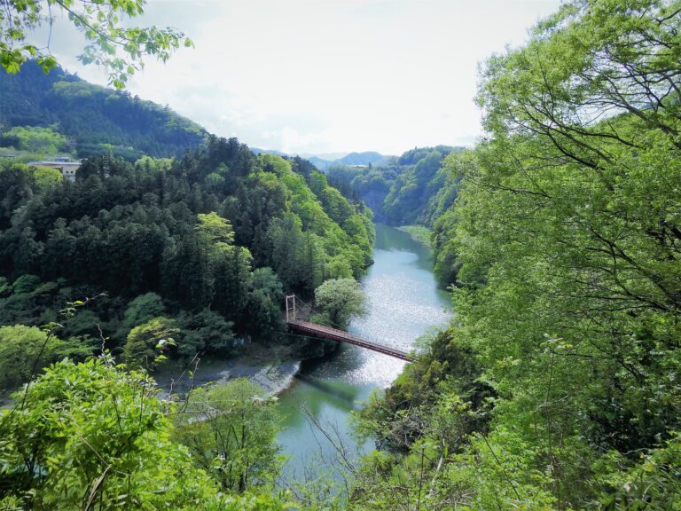
The course goes to Lake Sagami first, and next it goes to Mount Arashi. The mountain is easy to climb and suits for a day hike. From the top of the mountain, you can see the whole lake below your eyes.
On the last half of the course there is a historical inn “Obarajuku-honjin” Obarajuku-honjin (main inn) is located on the road called “Koshu-kaido”, which is one of the five main routes in Edo priod. There were many inns for travelers around this area in Edo priod, but now only Obarajuku-honjin remainds. It’s said that the building was more than 200 years old. You can get some rest after climbing a mountain.
Course Map
1. Sagamiko Station 相模湖駅
2. Sagamiko Park 相模湖公園
3. Sagami Dam 相模ダム
4. Entrance of the Trail 嵐山山道入口
5. The Summit of Mt. Arashi 嵐山山頂
6. Sanreimiya-mizukami Shrine 産霊宮水上神社
7. Resting Place 風と森と電気の里
8. Benten Bridge 弁天橋
9. Obarajuku Historical Inn 小原宿本陣
10. Folk Museum 小原の郷
11. Ushikura Shrine 牛鞍神社
Course Map (Google Map)
