Tokyo Hiking Course Guide
東京日帰り登山・コースマップ|日の出山
Average Time: 4 hours
Distance: 9.5 km
Elevation: 902 m
Level: Intermediate or Upper Beginner
About the Course – Mount Hinode
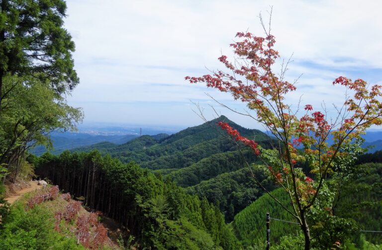
Mount Hinode is located in Ome city, where is the west side of Tokyo.
Its mountain range is stretched to a popular mountain “Mitake-san”. The course goes to Mt. Mitake first, and after passing through the summit of it, it goes to Mt. Hinode. There is a hot spring called Tsurutsuru onsen at the foot of the mountain. You can take a spa after a hike.
Course Map
1. Mitake Station 御嶽駅
2. Mitake Station No.1 Bus Stop 御嶽駅1番バス乗り場
3. Cable-shita Bus Stop ケーブル下バス停
4. Entrance of the Trail 御嶽神社 二の鳥居
5. Mitake Visitor Center 御岳ビジターセンター
6. Shop & Cafe Korisan 山楽茶屋 古狸山
7. Musashi Mitake Shrine 武蔵御嶽神社
8. Mount Hinode 日の出山
9. Tsurutsuru Hot Springs つるつる温泉
10. Tsurutsuru Onsen Bus Stop つるつる温泉バス停
Course Map (Google Map)
【External Links】
・Bus Timetable – Mitake Station No.1 Bus Stop
・Bus Timetable – Tsurutsuru Onsen Bus Stop
・Tsurutsuru Onsen Hot Springs Official Site
