Tokyo Hiking Course Guide
東京日帰り登山・コースマップ|相模湖・石老山
Average Time: 4 hours
Distance: 11 km
Elevation: 702 m
Level: Intermediate or Upper Beginner
About the Course – Mount Sekiro
Mount Sekiro (Sekiro-zan) is located beside Lake Sagami in Kanagawa Prefecture. The mountain is famous for the view of huge rocks along its trail. And on the course there are some good view points where you can see the whole lake below your eyes.
Course Map
1. Sagamiko Station 相模湖駅
2. Sagamiko Park 相模湖公園
3. Sagami Dam 相模ダム
4. Sekirozan-iriguchimae Bus Stop 石老山入り口前バス停
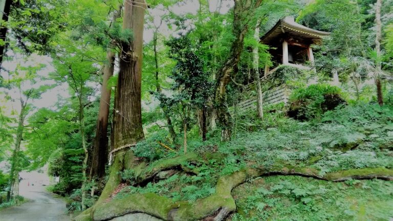
5. Kenkyo-ji Temple 顕鏡寺
6. Observation Area 融合平展望台
7. The Summit of Mt. Sekiro 石老山山頂
8. Observation Area 大明神展望台
9. Pleasure Forest Mae Bus Stop プレジャーフォレスト前バス停
Course Map (Google Map)
【External Links】
・Mount Sekiro Infomation (PDF・Japanese)
・Bus Timetable – Pleasure Forest Mae Bus Stop
