Tokyo Hiking Course Guide
東京日帰り登山・コースマップ|鎌倉祇園山
Average Time: 3 hours
Distance: 4 km
Elevation: 60 m
Level: Beginner
About the Course – Gion-yama
The course goes to the small hill called Gion-yama close to Kamakura station. The hill is very low, but on the top of it you can see a fine view of Kamakura beach (Yuigahama).
The short trail starts from the hill and at the last part of the trail there is the histrical site, where the last ruler of Kamakura governmnet committed suicide in 14th century.
On the course you can visit some temples and shrines. The last main place of the course is Tsurugaoka Hchiman-gu, which is the most famous and large shrine in Kamakura.
Course Map
1. Kamakura Station 鎌倉駅
2. West Exit Park 西口広場
3. Daiko-ji Temple 大巧寺
4. Hongaku-ji Temple 本覚寺
5. Myohon-ji Temple 妙本寺
6. Myohon-ji Founder Hall 妙本寺祖師堂
7. Joei-ji Temple 常栄寺(ぼたもち寺)
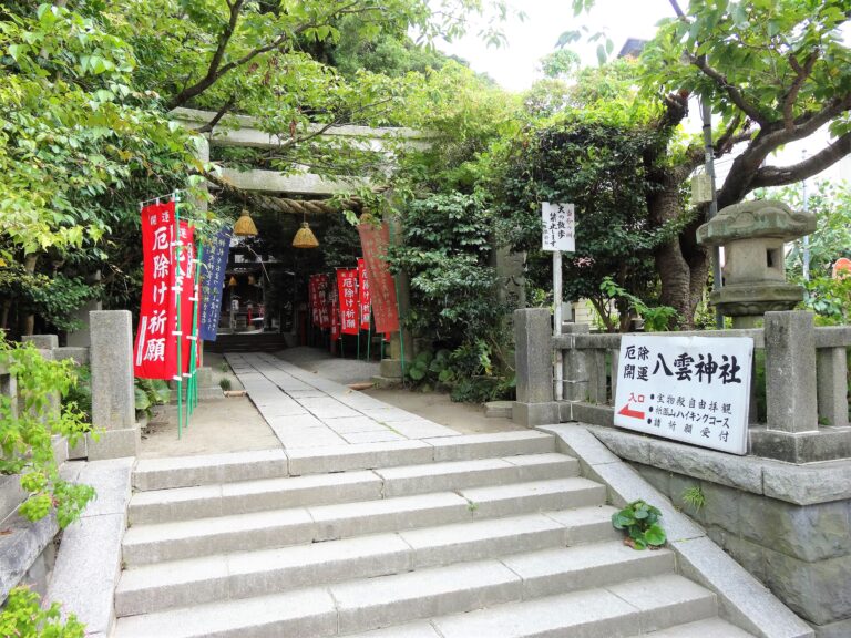
8. Yakumo Shrine 八雲神社
9. Entrance of the Trail 山道入り口
10. Observation Area 見晴台
11. Burial Cave 腹切りやぐら
12. Toshoji Bridge 東勝寺橋
13. Hokai-ji Temple 宝戒寺
14. Tsurugaoka Hachiman-gu 鶴岡八幡宮
Course Map (Google Map)
