Tokyo Hiking Course Guide
東京日帰り登山・コースマップ|相模湖・嵐山
Average Time: 3 hours
Distance: 8 km
Elevation: 406 m
Level: Upper Beginner
About the Course – Mount Arashi
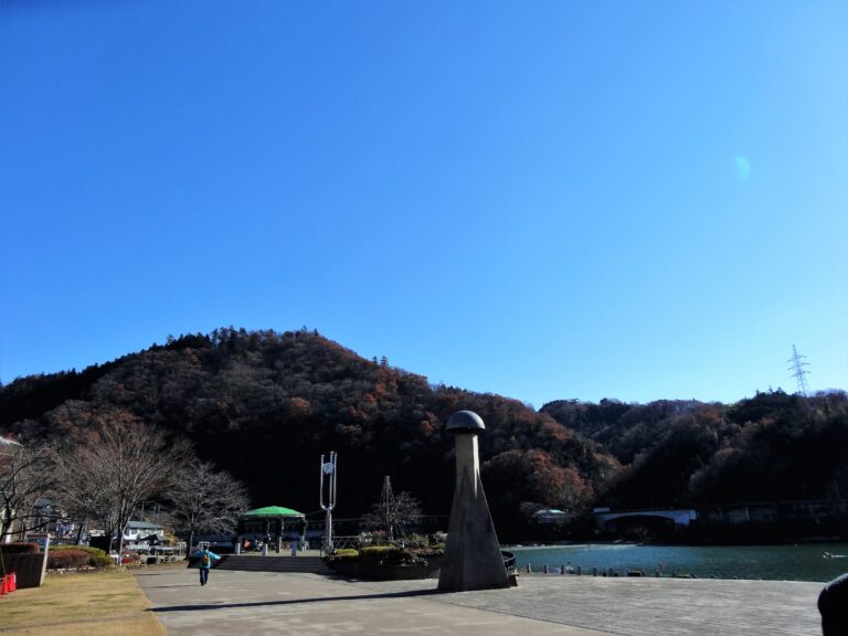
Mount Arashi (Arashi-yama) is a low mountain located beside Lake Sagami in Kanagawa prefecture.
The mountain is easy to climb and suits for a day hike. From the top of the mountain, you can see the whole lake below your eyes.
Course Map
1. Sagamiko Station 相模湖駅
2. Sagamiko Park 相模湖公園
3. Sagami Dam 相模ダム
4. Entrance of the Trail 嵐山山道入口
5. The Summit of Mt. Arashi 嵐山山頂
6. Sanreimiya-mizukami Shrine 産霊宮水上神社
7. Exit of the Trail 嵐山山道出口
Course Map (Google Map)
